UNITED STATES - MITCHELL, S. Augustus (publisher) - J. H. YOUNG
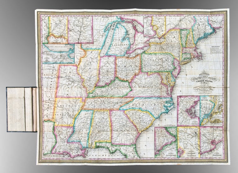
Mitchell's Travellers Guide Through the United States. A Map of the Roads, Distances, Steam Boat & Canal Routes
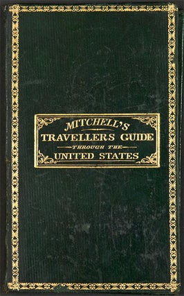
Philadelphia: S. Augustus Mitchell, 1833. Engraved folding map, period hand-colouring in outline. Nine inset maps. Large folding Index sheet. Folds into publisher's dark green morocco covers, covers bordered in gilt, title stamped in gilt on the upper cover. Sheet size: 17 5/8 x 22 1/8 inches.
Mitchell's Travellers Guide, with the large map of the U.S.
The map, with the borders of the states brightly colored, shows the Northeast, west to Missouri Territory and part of Mexico, including the Great Lakes region, and south through part of Florida. Insets show the vicinities of Niagara, New Orleans, Cincinnati, Albany, New York, Baltimore and Washington, Philadelphia, Charleston, and Boston. The large folding Index sheet includes much information on steamboat and canal routes, and various statistics. This copy very good condition for a guide generally found quite worn. This is the second edition, preceded only by that of 1832.
Rumsey 4374; Howes M690; Clark III:74; Graff 4790.
Item #25823
Price: $1,250.00


