
COLTON, George W. (1827-1901) & Charles B. (1832-1916)
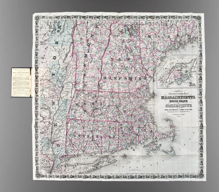
Colton's Railroad & Township Map of Massachusetts, Rhode Island, Connecticut with parts of Maine, New Hampshire, Vermont & New York
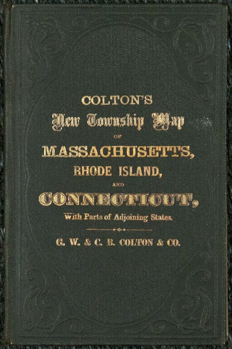
New York: G.W. & C.B. Colton, 1876. Folding pocket map, full period hand coloring. Inset of the British Provinces on the Gulf of St. Lawrence. Folds into publisher's blindstamped cloth covers, title stamped in gilt in the upper cover, Colton ad on the front pastedown. Sheet size: 31 1/4 x 32 1/4 inches.
Large and colorful Colton map of New England.
This decorative map depicts the region from New York City in the southwest corner to Searsmont, Maine in the northeast corner, with the Saranac Lakes in the northwest corner. Both counties and townships are identified, with many towns named. Roads, waterways and railroads are all shown.
Item #25836
Price: $450.00
See all items in
North America,
Pocket Maps
See all items by George W. COLTON, Charles B.