
CHACE, J
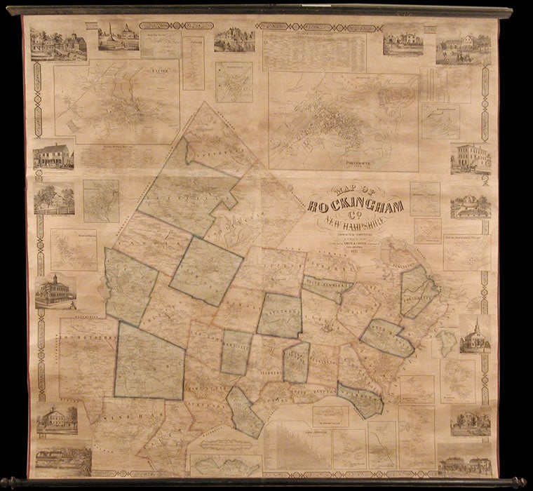
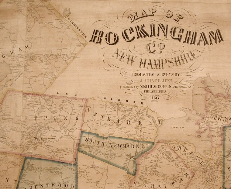
Map of Rockingham Co. New Hampshire from Practical Surveys...
Philadelphia: Smith & Coffin, 1857. Wall map, 56 x 56 inches, in full period hand colour. Expertly repaired, backed with modern linen, trimmed in red cloth, on contemporary rollers. Lightly tanned, faint old stain along upper edge, but in very good condition.
A large, attractive, detailed wall map of Rockingham County, New Hampshire. Chace evidently received at least some of his training with R. P. Smith and J. H. French's survey of New York, the most ambitious and advanced mapping project for any American state up to its time. Between 1854 and 1860, Chace conducted surveys of more than twenty counties in seven northeastern states. Rockingham is New Hampshire's only coastal county. Each township is individually coloured. There are two large inset street plans of Portsmouth and Exeter (with accompanying business directories), and seventeen smaller insets for other county towns and villages. The map is ornamented by fifteen finely engraved vignettes that show notable buildings and residences in the county, including the Exeter Court House, Swamscot Machine and South New Market Iron Foundry, and Philips, Kingston, Hampton, and Rockingham academies. There are also tables of distances and statistics. Not in Rumsey who lists only one Chace map, of Cumberland County, Maine. An exemplary New Hampshire county map.
Phillips, America, p.751; Ristow, pp. 387-88.
Item #6273
Price: $3,500.00